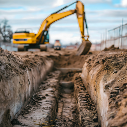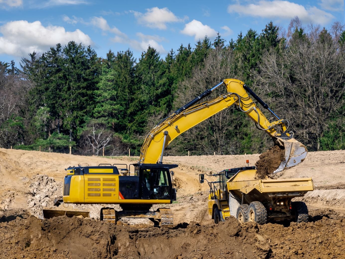
Cut and fill takeoff is one of the most critical steps in earthwork estimating. It tells you how much dirt needs to be removed (cut) and how much needs to be placed (fill) to bring a site to final grade. At Earthwork Digital, we specialize in delivering accurate cut and fill takeoffs that contractors can trust to build from—and bid with confidence.
What Is a Cut and Fill Takeoff?
A cut and fill takeoff compares existing ground elevations with proposed grades to calculate the volume of soil to be excavated or filled. This data helps contractors balance the site, determine import or export needs, and price labor, hauling, and equipment time with precision.
Why It Matters
- Prevents Overcutting: Know how deep to go—and when to stop.
- Reduces Waste: Plan for haul-off or backfill needs before you mobilize.
- Supports Bid Accuracy: Line-item clarity for your earthwork scope.
- Improves Scheduling: Avoid surprises that delay grading or follow-up trades.
Included in Our Cut and Fill Takeoffs
- 3D surface comparison and balance reports
- Color-coded cut/fill maps
- Topsoil strip and respread quantities
- Export/import calculations (bank and compacted volumes)
- Grading breakdown by area or pad
Built with Real-World Experience
We don’t just plug numbers into software and send a spreadsheet. Our team understands the realities of moving dirt—swell factors, overexcavation, trench backfill, and all. We account for what actually happens on site, so your numbers match the field.
Compatible with Your Workflow
Whether you’re bidding a commercial pad, a subdivision, or a heavy civil project, we tailor our cut and fill takeoff to match your scope. We work with AGTEK, Civil 3D, and other top tools to deliver clean data ready for use in estimates, schedules, and GPS models.
Conclusion
Cut and fill takeoff is the first step toward a successful earthwork project. Let Earthwork Digital handle the numbers so you can focus on the build.


